SÉMINAIRE COPERNICUS : ZONES CÔTIÈRES – CARTOGRAPHIE DE L’OCCUPATION DES SOLS
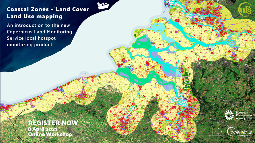
Le Service de Surveillance des Terres Copernicus (Copernicus Land Monitoring Service / CLMS) organise un atelier en ligne le 8 avril 2021 de 10h00 à 15h40 (CET) afin de présenter officiellement le nouveau produit de Couverture/Utilisation des Terres pour les zones côtières, qui permet la surveillance et la cartographie des points d’intérêt thématiques et qui […]
SÉMINAIRE COPERNICUS : ZONES CÔTIÈRES – CARTOGRAPHIE DE L’OCCUPATION DES SOLS Lire la suite »